
Erkennung von fahrzeugmontierten und ortsfesten Drohnen
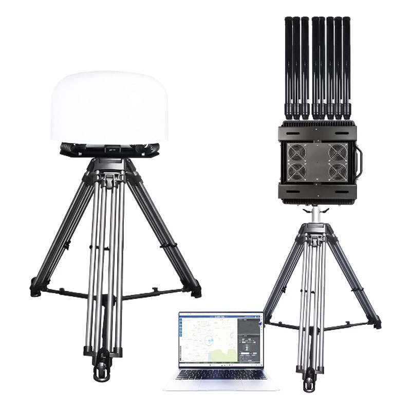
This integrated vehicle-mounted and fixed anti-drone system provides 360° protection, featuring 10km passive RF detection, 5km positioning, and 3km multi-band jamming with optional GPS spoofing.
- Detection and Jamming Range: Detection range: 1–10 km; Jamming range: 1–3 km.
- Deployment Methods: Supports vehicle-mounted installation and fixed-site deployment for diverse application scenarios.
- Wide UAV Model Compatibility: Effectively identifies and detects mainstream brand UAVs including DJI, Autel, Dahua and Yuneec. It also supports self-assembled FPV and Wi-Fi drones, covering most commercial and civilian UAV models on the market.
- Multi-map Switching: Supports electronic map switching among Amap, Baidu Maps and Bing Maps.
Produktdetails
Produktmerkmale
This vehicle-mounted UAV detection and countermeasure system integrates detection, positioning and jamming modules. It can detect, identify, locate, track and suppress unauthorized UAVs. Through in-depth analysis and data mining of UAV signals, the device captures multi-dimensional data of UAVs within coverage, including serial number, model, position (longitude, latitude, azimuth), flight speed, height, takeoff point, home point, flight track, as well as remote controller position (longitude, latitude, azimuth).
Featuring integrated industrial design, it has a compact, concealed look, excellent environmental adaptability and flexible deployment. It supports vehicle-mounted and fixed installation. (Optional: GPS Spoofing Module)
- Monitor the surrounding drone signals in real time and detect drones in advance.
- Monitor the UAV flight trajectory in real time and locate the pilot.
- Support vehicle-mounted or fixed area use.
- Identify the UAV model and obtain data such as detection distance.
- Distinguish between cooperative and non-cooperative UAVs; no alarm for cooperative UAVs, which can be marked as trusted.
- Working modes: unattended and manual.
- Handle more than 10 targets simultaneously with detection and countermeasure.
- Adopt decoding + wireless detection technology.
Note: Features 2 and 4 only apply to certain drone models. For more details please refer to the specification document.
Funktion
- Identify the model Can identify DJI, Autel and other mainstream models, as well as homemade machines, wifi machines, traversing machines and other models.
- Target positioning Real-time positioning of the drone and the operator.
- Trajectory tracking Can locate and track the drone swarm, and display multiple drone flight trajectories at the same time.
- Identity identification Can identify the unique serial number of the drone.
- Multi-group network Multiple equipment units can be used online, and can meet large area coverage.
- Scenarios Vehicle-mounted counter drone set or a fixed solution.
Indikatorparameter
| Gerätetyp | Spektrumserkennung und Zähler |
| Störfrequenz | 433 MHz, 700 MHz, 900 MHz, 1,2 GHz, 1,4 GHz, 1,5 GHz, 2,4 GHz, 5,2 GHz, 5,8 GHz (individuell anpassbar von 20 MHz bis 8000 MHz) |
| Erkennungshäufigkeit | 100 MHz – 6000 MHz |
| Drohnenmodell, das geortet werden kann | DJI-Serie |
| Horizontaler Erfassungswinkelbereich | 0°-360° |
| Erfassungsreichweite | 1-10 km (Varies due to environment and drone model) |
| Positionierungsbereich | 1-5 km (Varies due to environment and drone model) |
| Zählerabstand | 1–3 km (variiert je nach Umgebung und Drohnenmodell) |
| Aktualisierungszeit des Erkennungsergebnisses | 3 s (variiert je nach Umgebung und Drohnenmodell) |
| Erkennung von Drohnenschwärmen | ≥10 Drohnen |
| Betriebstemperatur | -20 °C bis +65 °C |
| Größe | Host: Φ×H 600 × 425mm ±2mm / Jammers dimension: 513 × 462 × 233mm |
| Gewicht | 52 kg |
Häufig gestellte Fragen
- Q1: How does this system handle vehicular movement and vibration during mobile convoy operations?
- A1: The system is engineered with a heavy-duty, integrated industrial chassis designed to absorb structural shock and kinetic vibrations common to moving vehicles. The passive RF detection array operates continuously without needing physical calibration or stabilization, delivering reliable 360-degree airspace monitoring while the convoy is in transit.
- Q2: What exact telemetry metrics can operators extract to aid law enforcement or security personnel?
- A2: By parsing and decoding live protocol data streams, the system extracts high-fidelity telemetry from compatible aircraft. Security teams can track the drone’s unique factory serial number for forensic tracking, along with real-time speed, altitude, flight trajectory, and the exact coordinates of both the takeoff point and the pilot’s remote controller.
- Q3: How does the software integration assist in mapping threats across different global regions?
- A3: The command software features native API compatibility with major mapping engines, allowing seamless switching between Autonavi, Bing, and Baidu maps. This ensures that field operators can overlay real-time drone flight paths and pilot coordinates onto precise local geographic information system (GIS) data for immediate tactical evaluation.
- Q4: Can the system effectively manage dense airspaces containing authorized friendly drones?
- A4: Yes. The system features a built-in black-and-white list classification module. Cooperative or friendly drones can be pre-registered and marked as “trusted” within the system. The software automatically suppresses alarms for these whitelisted assets, ensuring the automated countermeasure system only activates against non-cooperative threat profiles or hostile swarms (>10 targets).
- Q5: What are the power and frequency customization options for localized RF protection areas?
- A5: The system comes standard with multi-channel suppression covering common drone bands (433MHz, 700MHz, 900MHz, 1.2GHz, 1.4GHz, 1.5GHz, 2.4GHz, 5.2GHz, and 5.8GHz) delivering a countermeasure range of 1–3km. For specialized defense infrastructure, the RF output can be customized from 20MHz to 8000MHz, and multiple units can be networked online to extend total coverage area.
Ähnliche Produkte
-
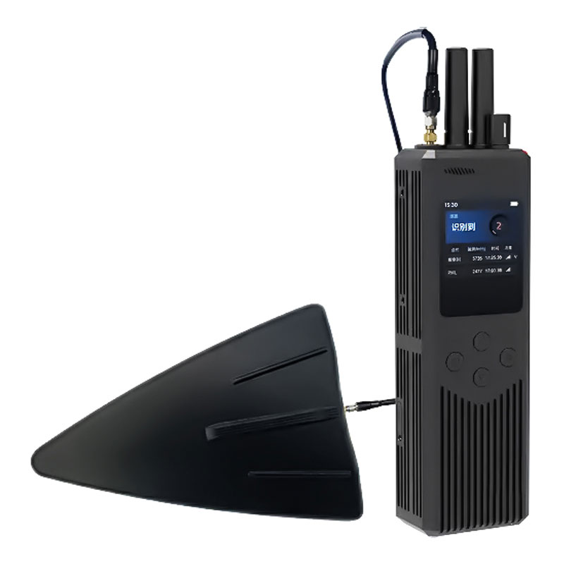
Tragbarer Drohnen-Detektor und Peiler im Handformat
Drohnen-Detektor-Serie -
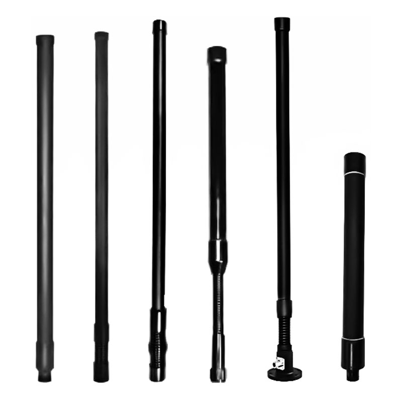
Breitband-Rundstrahlantenne aus FRP-Glasfaser, 20–6000 MHz
Antennenzubehör -
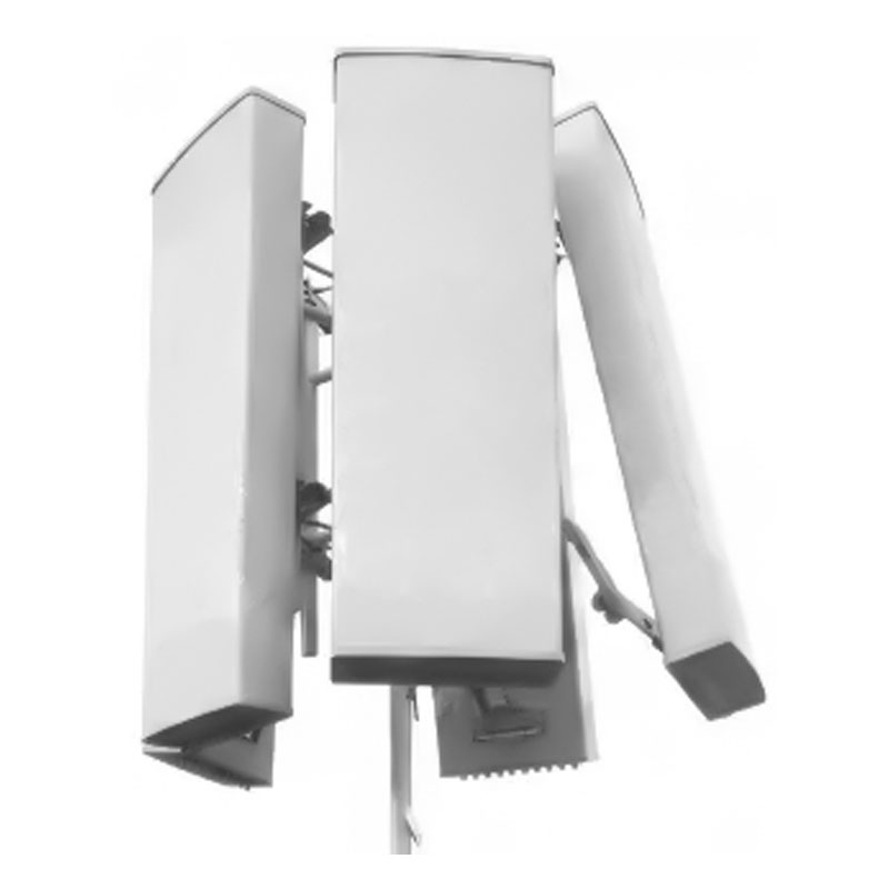
Multiband-Flachbildschirmantenne für ortsfeste Basisstationen
Antennenzubehör -
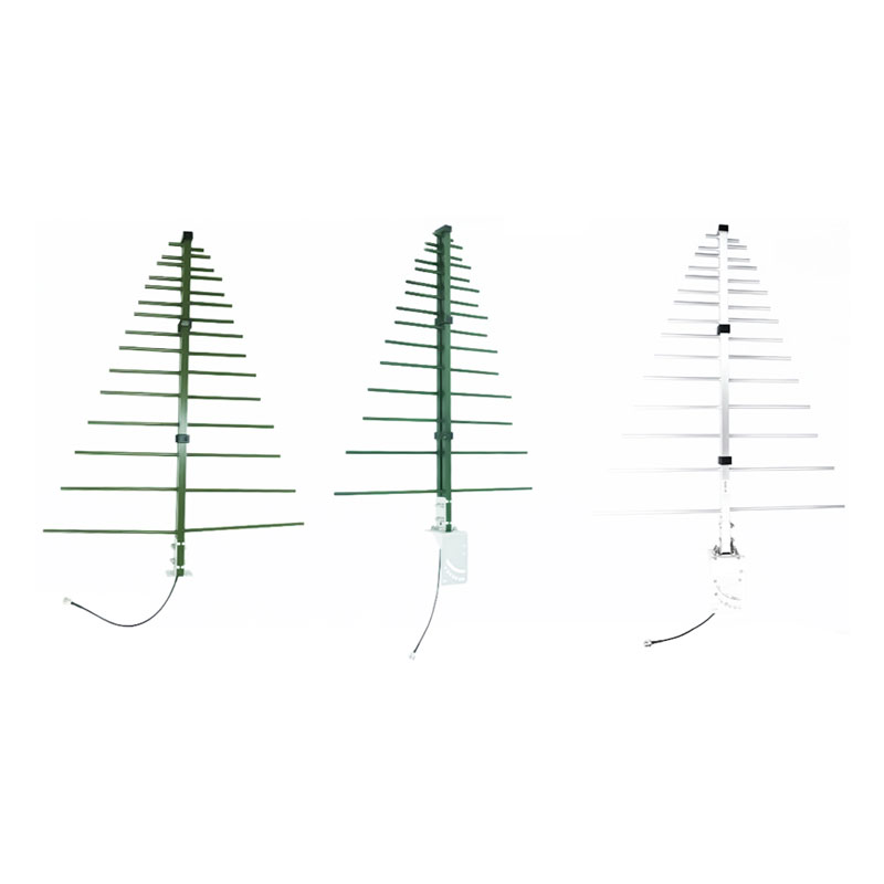
Breitband-Fishbone-Yagi-Antenne (300–3000 MHz)
Antennenzubehör