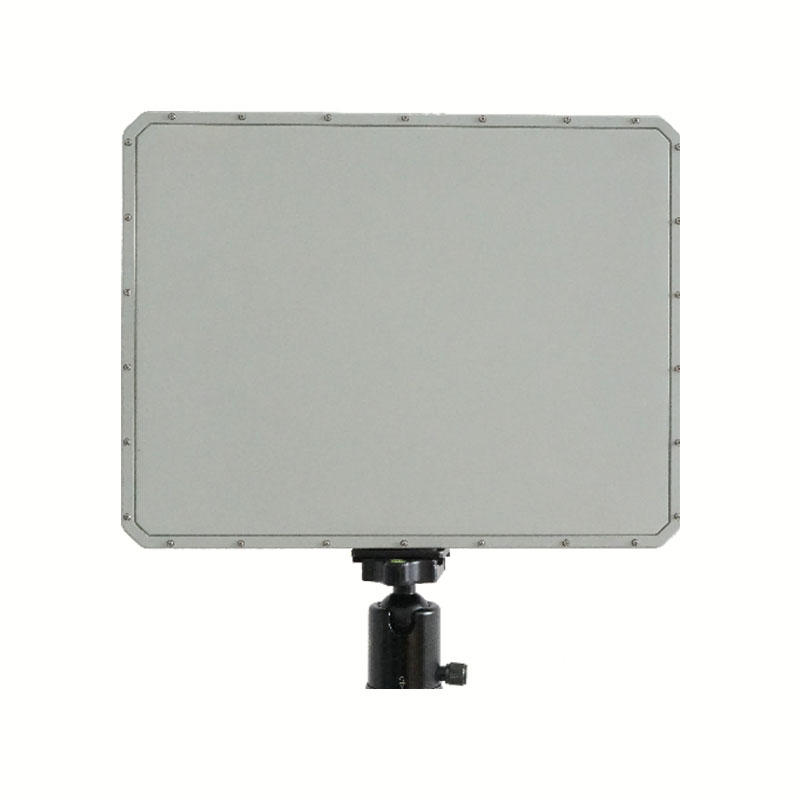
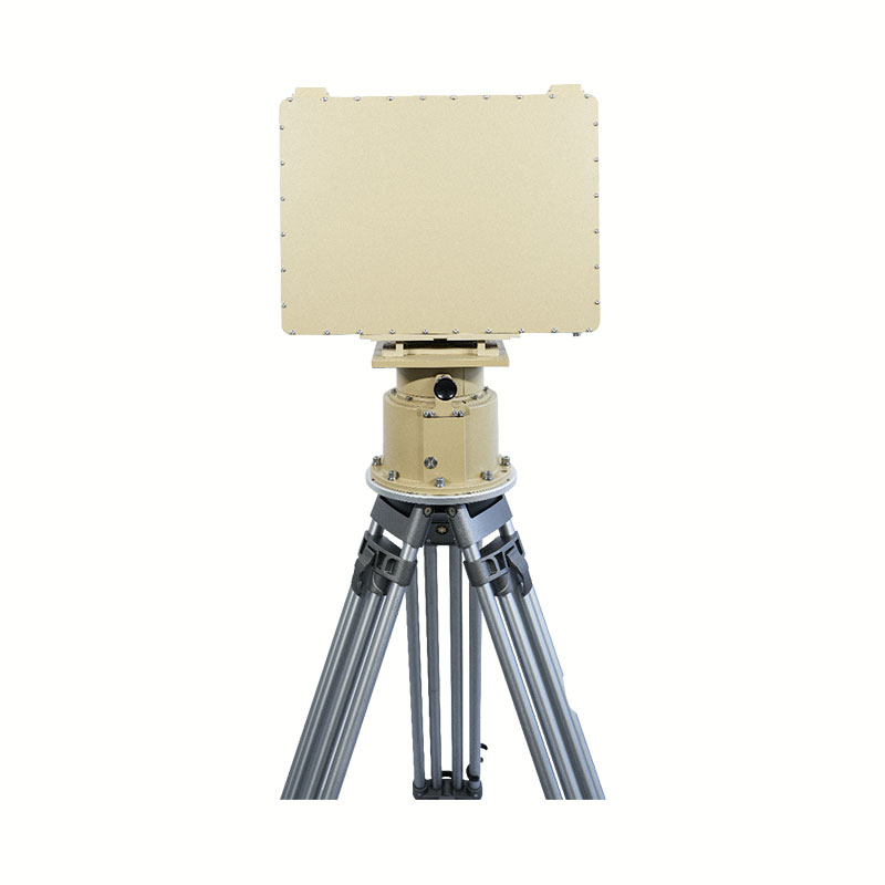
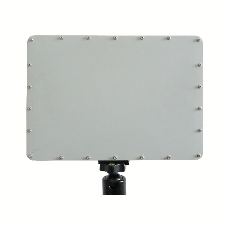
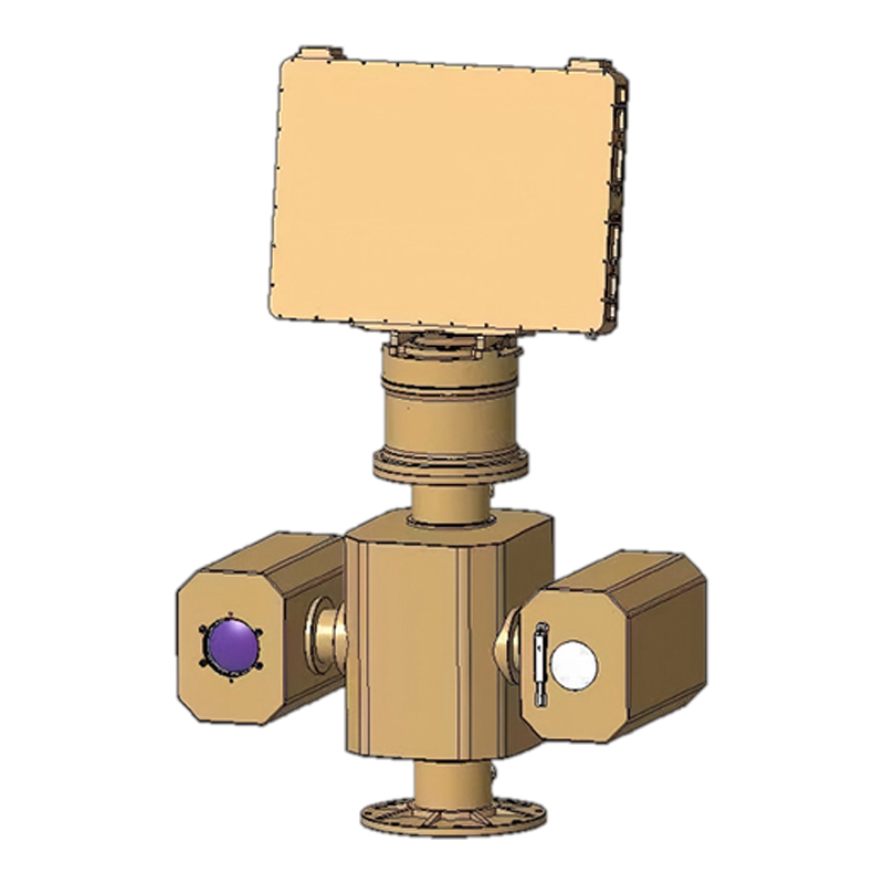
StarDL A-Serie 15 – Überwachungsradar für niedrige Flughöhen (SDL-A15)
X-band low-altitude surveillance radar designed for extended-range target detection and tracking.
- 2D electronic scanning for fast beam steering
- Extended 15 km detection capability
- Hochpräzise Mehrzielverfolgung
- Stabile Überwachungsleistung bei jedem Wetter
Produktdetails
Produktübersicht
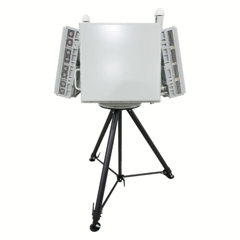
The SDL-A15 moving target surveillance radar employs a two-dimensional electronic scanning system, enabling continuous, all-day, all-weather detection and tracking of moving targets within its coverage area. It offers advantages such as high detection sensitivity, low false alarm rate, and excellent accuracy.
Wichtige technische Daten
| Betriebsfrequenz | X-Band |
| Betriebsmodus | Two-Dimensional Electronic Scanning System |
| Sichtfeld in der Höhe | -2° ~ 45° |
| Horizontales Sichtfeld | 90° (Single-faced array) / 360° (Four-faced array) |
| Erfassungshöhe | 1500m |
| Reichweite | 8km |
| Erfassungsbereich | ≥5 km (small rotorcraft UAV, RCS=0.01 m², DJI Phantom 4) ≥8 km (medium fixed-wing UAV, RCS=1 m²) ≥8 km (personnel) ≥8 km (helicopter, vehicle) |
| Genauigkeit der Winkelmessung | Azimut: ≤0,3° (RMS) Elevation: ≤0,3° (RMS) |
| Genauigkeit der Entfernungsmessung | 8m (RMS) |
| Toter Winkel | 150m |
Häufig gestellte Fragen
- What is the main purpose of the SDL-A15 radar?
- It is used for long-range low-altitude surveillance and moving target detection in security and monitoring applications.
- What scanning method does it use?
- It uses a two-dimensional electronic scanning system for fast and flexible beam steering without mechanical rotation.
- Welche Ziele kann es erkennen?
- It can detect UAVs, helicopters, vehicles, and personnel depending on radar cross-section and distance.
- Is it suitable for continuous operation?
- Yes. It is designed for 24/7 all-weather surveillance with stable performance in complex environments.
- Was sind typische Anwendungsszenarien?
- It is used in border security, airport protection, critical infrastructure monitoring, and low-altitude airspace surveillance.