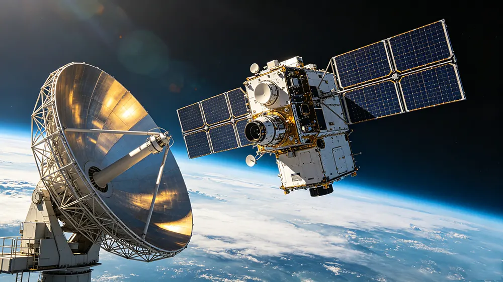


Système portable de détection et de suivi de trajectoire des drones, sous forme de valise
Ce détecteur de drones portable, de la taille d'une valise, assure une sécurité de l'espace aérien à déploiement rapide (≤ 90 s). Il est doté d'une détection RF passive d'une portée de 10 km, d'un suivi télémétrique précis jusqu'à 5 km et d'un écran tactile intégré de 10,1 pouces.
- Exploration des données du protocole à spectre complet
- Cartographie de trajectoire et de pilotage de haute précision
- Format valise pour déploiement rapide
- Architecture d'alimentation à double batterie adaptée à toutes les conditions météorologiques
Détails du produit
Description du produit
This suitcase-style portable UAV detector integrates complete software and hardware. By conducting in-depth analysis and data mining on UAV signals, it can acquire multi-dimensional information of nearby drones in real time, including serial number, model, position, speed, flight height, takeoff point, home point and flight track, as well as the operator’s location. It supports standalone and network-connected operation, features rapid deployment, flexible application, touch screen control and simple operation.
Fonction :
1. Model Identification
It can identify mainstream UAV models such as DJI and Autel, as well as self-assembled drones, Wi-Fi drones and FPV racing drones.
2. Target Positioning
Real-time positioning for UAVs and their operators.
3. Trajectory Tracking
It can locate and track UAV swarms and display multiple flight trajectories simultaneously.
4. Whitelist & Blacklist
Effectively distinguishes cooperative and non-cooperative targets.
5. Identity Recognition
It can read the unique serial number of UAVs.
Note: Functions (1), (2), (3) and (5) are only applicable to specific UAV models. Please refer to the specification document for details.
Paramètres des indicateurs
| Modèle de drone pouvant être détecté | DJI, AUTEL, FIMI, DAHUA, PowerVision, YUNEEC, UDIRC and other common brands of drones and some self-made FPVs and WiFi drones |
| Modèle de drone pouvant être localisé | Série DJI |
| Fréquence de détection | 100 MHz – 6 000 MHz |
| Portée de détection | 1~10km radius (Varies due to environment and drone model) |
| Plage de positionnement | 1~5km radius (Varies due to environment and drone model) |
| Altitude | 0 – 1000m |
| Détection d'essaims de drones | ≥ 10 drones |
| Temps de mise à jour des résultats de détection | 4 à 6 s (variable en fonction de l'environnement et du modèle de drone) |
| Azimuth error | ≤1.5° (RMS) |
| Erreur de localisation | ≤ 10 m |
| Prêt à l'emploi | ≤90s |
| Poids | ≤18kg (Adaptor excluded) |
| Taille | 520 × 415 × 224mm ±2mm (Case closed) |
| Consommation électrique | ≤100W |
| Tension d'alimentation externe | 100 ~ 220 V CA |
| Battery run time | ≥4h (Dual batteries) |
| Température de fonctionnement | -20~65℃ |
| Imperméable | IP65 (boîtier fermé) |
| Taille de l'écran | 10.1 Inches |
| Résolution | 1080P (1920×1200) |
FAQ
- Q1: How rapidly can this system be deployed by a single operator during time-sensitive field security tasks?
- A1: The system is engineered as a fully integrated hardware and software solution packed into a single briefcase. It achieves complete boot-up, system self-check, and active RF scanning deployment in ≤90 seconds. The intuitive 10.1-inch touchscreen interface eliminates the need for auxiliary peripheral setup, making it ideal for immediate standalone tactical applications.
- Q2: What specific tracking capacity and telemetry metrics can the system display during a coordinated drone swarm attack?
- A2: The software tracking engine actively discriminates and maps complex drone swarms exceeding 10 aircraft simultaneously. With a data refresh rate of 4–6 seconds, the system plots independent 3D flight trajectories for each threat, displaying synchronized metrics such as latitude/longitude coordinates, climbing speed, absolute height up to 1000 meters, and real-time bearing vectors.
- Q3: How does the deep signal protocol parsing feature aid in target forensic identification and pilot tracking?
- A3: By implementing advanced RF data mining across the 100MHz–6000MHz spectrum, the system intercepts and reads the raw communication stream between the drone and its remote control. This allows operators to extract the aircraft’s unique factory serial number for legal profiling, alongside the exact real-time GPS coordinates of the drone’s takeoff point and the pilot’s current physical location.
- Q4: What are the integrated power configuration options for extended remote site surveillance?
- A4: Designed with an optimized ≤100W power draw, the system features a built-in dual-battery network that guarantees ≥4 hours of continuous cordless operation in the field. For permanent or extended security watch perimeters, it accepts standard external 100–220V AC grid connections to support continuous 24/7 airspace monitoring and concurrent battery replenishment.
- Q5: Can this portable unit differentiate authorized commercial operations from unauthorized airborne threats?
- A5: Yes. The system includes an integrated blacklist and whitelist management feature. Security administrators can pre-register local cooperative drones or friendly security assets, marking them as “trusted” within the interface. The system suppresses audio-visual threat alerts for whitelisted items while maintaining an aggressive scanning profile for non-cooperative targets.
Produits associés
-
Système portable de détection et de suivi de trajectoire des drones, sous forme de valise
Série de détecteurs de drones -
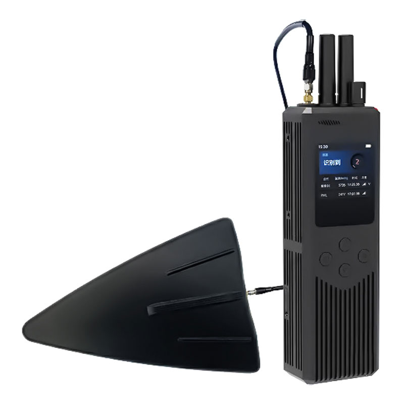
Détecteur et radiogoniomètre portatif pour drones
Série de détecteurs de drones -
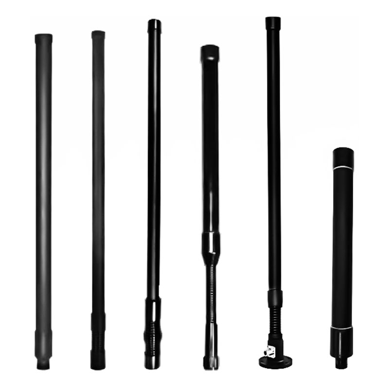
Antenne omnidirectionnelle à large bande en fibre de verre (FRP) de 20 à 6 000 MHz
Accessoires pour antennes -
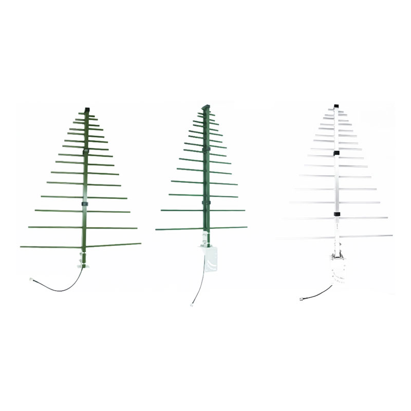
Antenne Yagi « Fishbone » à large bande (300-3 000 MHz)
Accessoires pour antennes