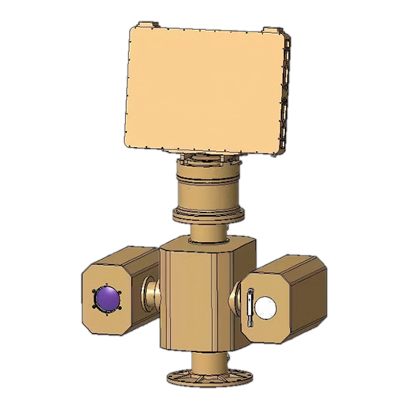
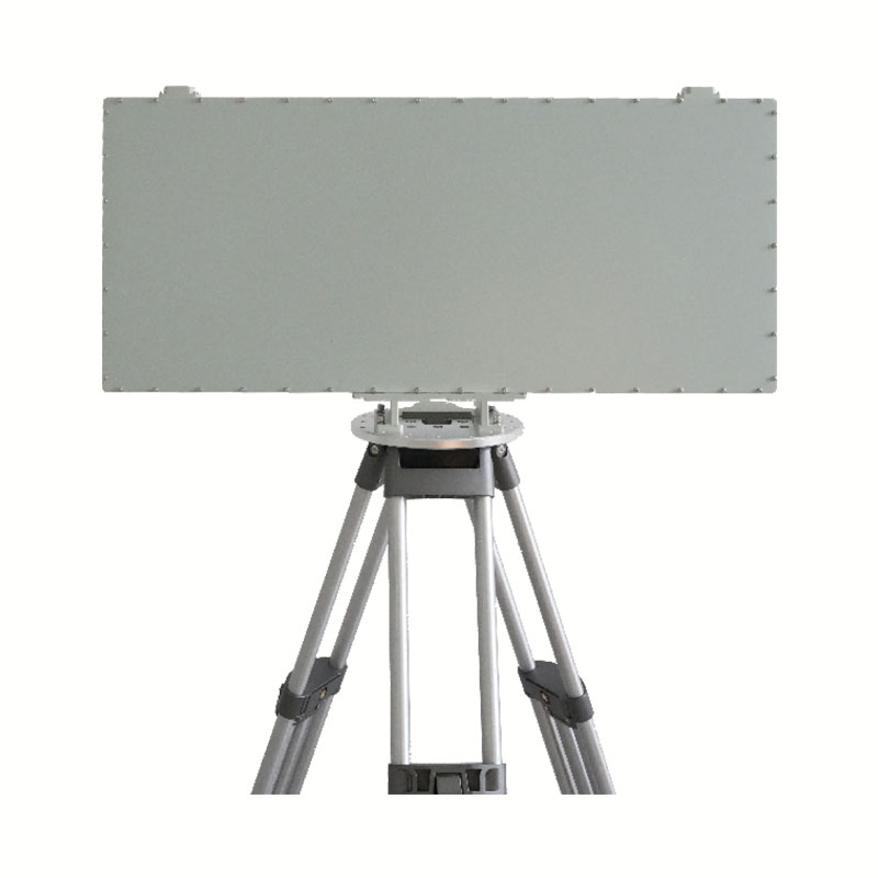
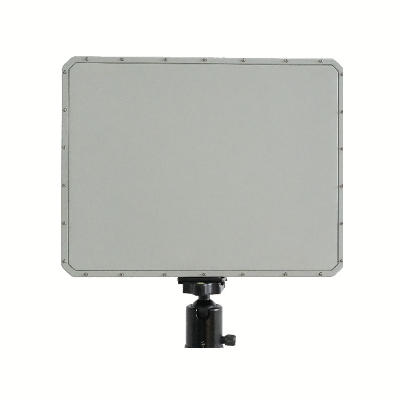
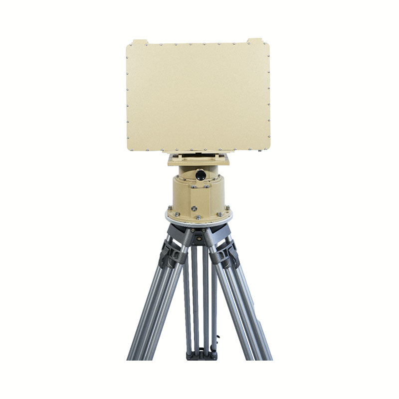
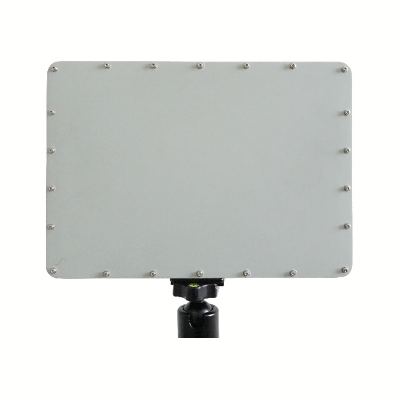
This low-altitude surveillance system integrates Ku-band radar with electro-optical and infrared sensors in a coaxial structure, eliminating blind zones caused by sensor separation. The system combines radar detection with visual and thermal imaging, and uses AI-based fusion algorithms to improve target recognition and tracking accuracy. It is designed for continuous 360° monitoring of low-altitude airspace and supports detection and identification of multiple target types in complex environments.
What is the advantage of integrating radar with EO/IR systems?
Integration allows radar detection and visual/infrared confirmation to work together, improving target identification accuracy and reducing blind zones.
What role does AI fusion play in this system?
AI algorithms combine radar and video data to improve classification accuracy and reduce false alarms in complex environments.
What is the detection range of this system?
It supports up to 3 km radar detection, 2.5 km visible light detection, and 1 km infrared detection depending on target characteristics.
What targets can it monitor?
It is suitable for UAVs, low-altitude aircraft, and other moving targets requiring identification and tracking.
What are typical application scenarios?
It is used in perimeter security, critical infrastructure protection, border surveillance, and low-altitude airspace monitoring.
Please provide as much detail as possible so we canbetter assist you.
Get Your Tailored Communication Solution
Please specify your deployment platform and operational requirements. Our RF experts will review your architecture and provide professional technical recommendations within 24 hours.
Product Support & Technical Consultation
Discuss Your RF & Microwave Requirements
Looking for microwave or millimeter-wave integrated circuit products? Share your application requirements and our team will recommend suitable solutions based on your frequency range, power level, and system architecture.